Earth Observing Satellites
Results from satellite downlink observations at University of Tasmania ground segment facilities
Overview
The University of Tasmania ground station receives and processes direct-broadcast downlinks from a range of Earth Observing Satellites (EOS). Each satellite carries dedicated Earth-observation instruments covering visible, near-infrared, thermal infrared, and microwave spectral bands, as well as Synthetic Aperture Radar (SAR) systems. The imagery and data products below are captured and processed at UTAS.
Terra & Aqua
(MODIS)
Agency: NASA |
Launch: 1999 (Terra), 2002 (Aqua)
Instrument: MODIS (Moderate Resolution Imaging Spectroradiometer)
Data types: VIS, NIR, TIR, Multispectral
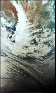
Suomi-NPP
(VIIRS)
Agency: NASA / NOAA |
Launch: 2011
Instrument: VIIRS (Visible Infrared Imaging Radiometer Suite)
Data types: VIS, NIR, TIR, Multispectral
Frequency: 7.8120 GHz
Sample rate decimation factor: 25 MHz
Resolution: spatial resolutions of 375 m and 750 m
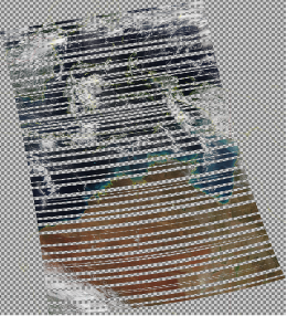
NOAA-20 & NOAA-21
(VIIRS)
Agency: NOAA |
Launch: 2017 (NOAA-20), 2022 (NOAA-21)
Instrument: VIIRS (Visible Infrared Imaging Radiometer Suite)
Data types: VIS, NIR, TIR, Multispectral